With the temperatures dropping in Spain to -38˚, we are hoping that it will snow this weekend. The chances are minimal, but we would love to wake up and see the valley covered in white.
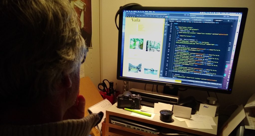
During these winter months we work steadily, but now digitally: on a website about our region, where you can find everything there is to do. Nuno is doing the coding, and I am collecting and writing the content. When we’re tired of sitting behind our computers, we go out for a walk. During this pandemic, it is one of the best things to do.
A website about the Douro Verde
Initially, we thought our website should be an entertainment agenda with cultural, tourist, sporting and gastronomic events and attractions. But last years all these events were cancelled. And even now we don’t know for sure if and when these events, feasts, festivals and expos will be allowed again. That is why we are currently concentrating on all sights and leisure spots. For example musea, swimming spots, monuments, parks and ATB and walking trails. And to our surprise, there are many here.
Walking routes in Northern Portugal
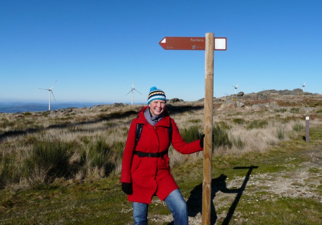
For example, in our part of Northern Portugal, the Douro Verde, I’ve found 39 waymarked walking trails. They are not very well known, but they are well worth it.
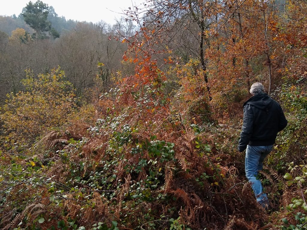
What I generally like about walking here is the adventurous/unexpected nature of the trails. In Holland, most waymarked trails are very well maintained with marks every 200 meters. But here you are lucky if you complete a trail exactly as it was intended by the markers. Countless times we had to turn around or find our own way because a path ended, was overgrown by brambles, was closed off by a farmer or the waymarks had disappeared.
Nevertheless, we enjoy the ancient Roman trails and goat paths, hidden and away from the modern world. You hardly meet other hikers or people. Most days it’s just you, the trail and the scenery.
Don’t Portuguese hike?
Of course they do! You will meet other hikers, especially on weekends and holidays. Sometimes also large groups because Portuguese like to do things in groups (and with something to eat). There are several websites with organized walks across the country. We joined one or two, and beyond my expectations, I liked it. It is a nice way to meet Portuguese.
But in general, I prefer to follow my own unexpected path.

Good advise for walking in Northern Portugal
Besides the obvious things like water, good shoes etc., I would recommend that you bring a pruner.
Suppose every hiker would do some pruning along the way! And come to think of it, maybe there should always be two pruners at the start of a route ready to take along! (And a saw, a trimmer, a can of red and a can of yellow paint and a brush.)
Back to topic: Hiking poles can provide support on steep slopes, and can be useful for crossing flooded paths, streams or overgrown paths.
We never use hi-tec navigation apps or equipment, but we bought a few military maps (1:25000) of our area. The series is called ‘cartas militares’ and is also available in a paid app for your smartphone. The maps are not up to date, but not much has changed in these rural areas. (Except the construction of windmill parks on top of the mountains.)
In the dry, hot months it is wise to check the area where you want to go hiking in advance for wildfires. Below you find a link to a good site.
Hopefully next month we can share our new website with the world, including the 39 hiking trails of the Douro Verde. We are working on it, step by step…
Links:
- Military maps can be ordered at Geographic Institute of the Army
Or in Porto at Livraria Porto Editora, Praça D. Filipa de Lencastre 42, Porto - Best weather forecast site: www.tempo.pt
- Up-to-date Covid-19 rules per munipality: pandemia clara
- Realtime wildfire alert: fogos.pt
10 jan 2021


Having returned from cycling in Italy, I was very impressed by the free app for smart phones POCKET EARTH. Based on the well known OpenStreetMap maps it had all the cycling and walking routes in the area clearly and accurately marked.
Looking in your area, I see plenty of walking paths displayed e.g. Percurso EBIO do Vale do Bestanca
Since my iPhone is 6 years old I take a an extra battery with me (called powerbank) which gives me 2 full days of navigation. The map is automatically downloaded when you open the app so be sure to do that when you still have phone signal or wifi. Then, when you venture into an area with no phone coverage, the phone’s GPS will still provide very accurate location on the map.
Hi Mark, thank you for the link, I really like apps that function well with GPS only!